Drones and fast mapping for public safety
CRJ Key Network Partner Pix4D has announced a new collaboration with drone company Autel Robotics that is tailored to meet the needs of the public safety sector and offers Pix4Dreact as part of the range of Autel Evo II bundles.
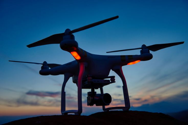
The new bundles include the Autel Evo II drone, a hard carrying case, one additional flight battery and a yearly license of Pix4Dreact. This collaborative effort between Autel Robotics and Pix4D combines one of the fastest ‘out of the box, into the air’ drones on the market with Pix4D’s fast-mapping software for emergency response. Image: Dmitry Kalinovsky/123rf
Now compatible with all Autel Evo II camera models for real colour mapping, Pix4Dreact is specifically designed to provide quick and reliable situational awareness to first responders while in the field. Fast, lightweight, easy-to-use and robust, it can produce high quality two-dimensional orthomosaic maps when time is of the essence, enabling teams on the ground to respond quickly and safely.
“We are very proud to partner with Autel Robotics to bring this simple-to-use yet powerful drone-mapping solution to first responders”, says Christopher Cressy, Managing Director for Pix4D North America.
He continues: “The Evo II is an impressive drone platform and ideally suited to public safety missions. It’s light, fast, and easy to operate. Paired with Pix4Dreact and a simple laptop computer, any drone pilot or responder on the ground can generate and share a high-resolution scale map in minutes, anywhere in the world, with or without network connectivity.”
Gary DeLuca, CEO of Autel Robotics USA adds, “At Autel Robotics, we are proud to offer the fastest rapid-deployment aircraft in the industry and the speed of Pix4Dreact is the ideal complementary application for our aircraft. No other application, and no other aerial product in public safety and construction industries output actionable data as efficiently, accurately, and with quality orthomosaics as Pix4Dreact partnered with Autel Enterprise.”
Read about how Pix4D collaborates with organisations around the world to improve public safety and emergency response in the latest edition of the CRJ 15:3 here.