Drones in public safety: The bigger picture
March 2021: A new eBook, Drones in public safety: The bigger picture from CRJ Key Network Partner, Pix4D highlights real life situations where responders have implemented their own drone programmes to help enhance their performance and improve response.
This new, free-to-download eBook shares workflows and case studies for using drones in public safety
Public safety is a varied and complex industry. Because no two events are ever the same – whether they are fires, search and rescue missions or vehicle crashes – public safety operations are always unpredictable. Some techniques have been used for a long time and are well-established, such as clearing undergrowth to prevent wildfires, whereas others, like using thermal imaging to find missing people, are more modern.
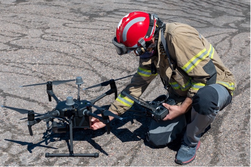
This is where drones and mapping technology can help. Drones are rapidly becoming a standard tool for public safety teams. Pix4D’s new eBook covers areas from tracking and predicting wildfires and assessing flood risks, to reconstructing collisions for investigations and search and rescue operations.
The eBook should appeal to anybody who works in public safety and disaster relief and, best of all, it is FREE to download! Click here for your copy.